Global Image-pair Velocities (1985-Present)
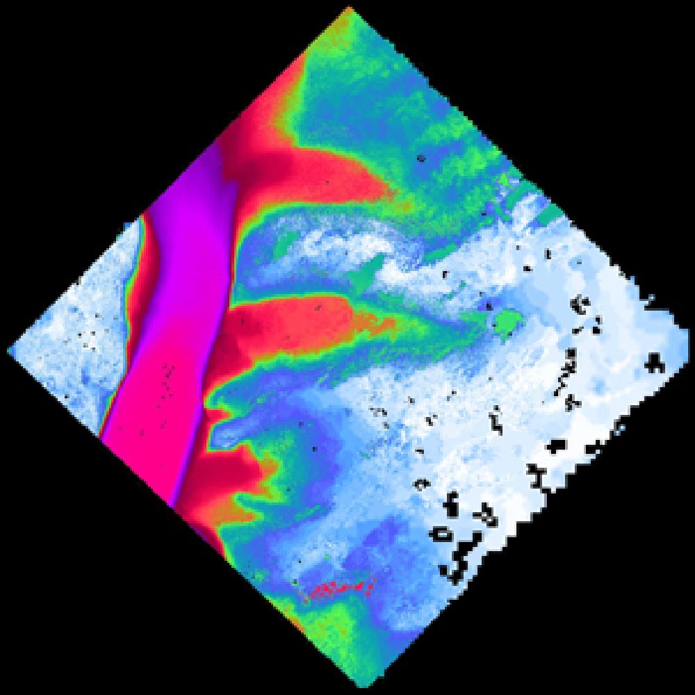
Scene-pair velocities generated from satellite optical and radar imagery.
- Coverage: All land ice
- Date range: 1985-present
- Temporal resolution: Variable, 6 to 546 days separation
- Spatial resolution: 120 m
- Spatial Reference System(s): WGS 84 / NSIDC Sea Ice Polar Stereographic North EPSG:3413
- Spatial Coverage: N:81.51, S:58.33, E:11.32, W:-94.4